
Tewksbury topographic map
Interactive map
Click on the map to display elevation.
About this map
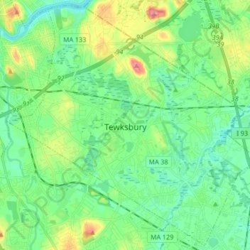
Name: Tewksbury topographic map, elevation, terrain.
Location: Tewksbury, Middlesex County, Massachusetts, United States (42.56454 -71.29632 42.65767 -71.16488)
Average elevation: 42 m
Minimum elevation: 13 m
Maximum elevation: 116 m