
Kel. Kebonwaru topographic map
Interactive map
Click on the map to display elevation.
About this map
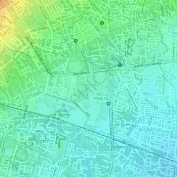
Name: Kel. Kebonwaru topographic map, elevation, terrain.
Location: Kel. Kebonwaru, West Java, Indonesia (-6.92437 107.63734 -6.90888 107.64435)
Average elevation: 690 m
Minimum elevation: 679 m
Maximum elevation: 715 m