
Thank you for supporting this site ❤️
Make a donation
Make a donation
Kandangan topographic map
Click on the map to display elevation.
Thank you for supporting this site ❤️
Make a donation
Make a donation
About this map
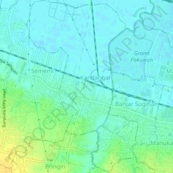
Name: Kandangan topographic map, elevation, terrain.
Location: Kandangan, Benowo, Surabaya, 60197, Indonesia (-7.26558 112.63902 -7.23344 112.65998)
Average elevation: 7 m
Minimum elevation: -1 m
Maximum elevation: 24 m
Thank you for supporting this site ❤️
Make a donation
Make a donation