
Mpulungu topographic map
Interactive map
Click on the map to display elevation.
About this map
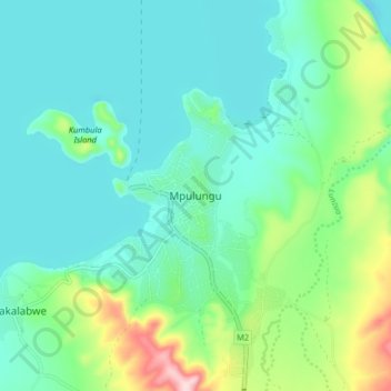
Name: Mpulungu topographic map, elevation, terrain.
Location: Mpulungu, Mpulungu District, Northern Province, Zambia (-8.80616 31.07960 -8.72616 31.15960)
Average elevation: 815 m
Minimum elevation: 753 m
Maximum elevation: 1,025 m