
Carthage topographic map
Interactive map
Click on the map to display elevation.
About this map
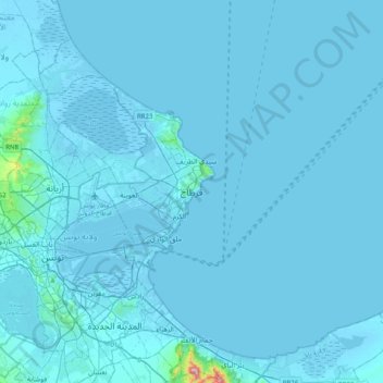
Name: Carthage topographic map, elevation, terrain.
Location: Carthage, قرطاج الشاطئ, Carthage, Tunis, 2016, Tunisia (36.69163 10.17044 37.01163 10.49044)
Average elevation: 9 m
Minimum elevation: -7 m
Maximum elevation: 544 m
The elevation of the land at the promontory on the seashore to the north-east (now called Sidi Bou Saïd), was twice as high above sea level as that at the Byrsa (100 m and 50 m). In between runs a ridge, several times reaching 50 m; it continues northwestward along the seashore, and forms the edge of a plateau-like area between the Byrsa and the sea. Newer urban developments lay here in these northern districts.