
Ottawa topographic map
Interactive map
Click on the map to display elevation.
About this map
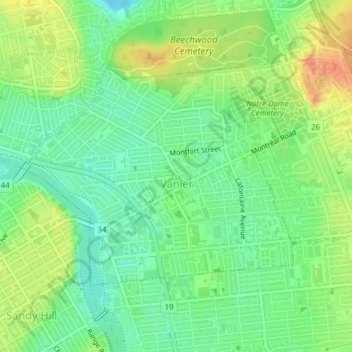
Name: Ottawa topographic map, elevation, terrain.
Location: Vanier, Ottawa, Ontario, Canada (45.42862 -75.67857 45.44538 -75.64913)
Average elevation: 66 m
Minimum elevation: 47 m
Maximum elevation: 91 m
Other topographic maps
Click on a map to view its topography, its elevation and its terrain.
Cumberland
Canada > Ontario > Ottawa > Cumberland
Cumberland, Ottawa, Eastern Ontario, Ontario, Canada
Average elevation: 75 m