
Coal County topographic map
Interactive map
Click on the map to display elevation.
About this map
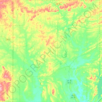
Name: Coal County topographic map, elevation, terrain.
Location: Coal County, Oklahoma, USA (34.41619 -96.51467 34.76883 -96.09116)
Average elevation: 209 m
Minimum elevation: 164 m
Maximum elevation: 303 m
Other topographic maps
Click on a map to view its topography, its elevation and its terrain.
Razorback Mountain
Razorback Mountain, Pushmataha County, Oklahoma, 74557, USA
Average elevation: 231 m