
Barka topographic map
Interactive map
Click on the map to display elevation.
About this map
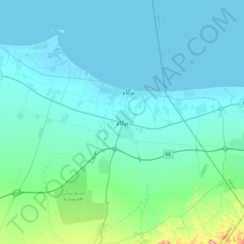
Name: Barka topographic map, elevation, terrain.
Location: Barka, Al Batinah South, 320, Oman (23.50765 57.72362 23.82765 58.04362)
Average elevation: 45 m
Minimum elevation: -2 m
Maximum elevation: 436 m