
Read topographic map
Interactive map
Click on the map to display elevation.
About this map
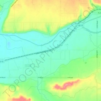
Name: Read topographic map, elevation, terrain.
Location: Read, Delta County, Colorado, 81414, USA (38.74609 -107.99618 38.78609 -107.95618)
Average elevation: 1,549 m
Minimum elevation: 1,515 m
Maximum elevation: 1,608 m