
Motoko topographic map
Interactive map
Click on the map to display elevation.
About this map
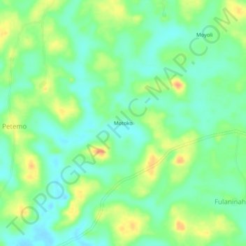
Name: Motoko topographic map, elevation, terrain.
Location: Motoko, Bo District, Southern Province, Sierra Leone (7.89892 -12.08335 7.93892 -12.04335)
Average elevation: 54 m
Minimum elevation: 39 m
Maximum elevation: 77 m