
Mutombo topographic map
Interactive map
Click on the map to display elevation.
About this map
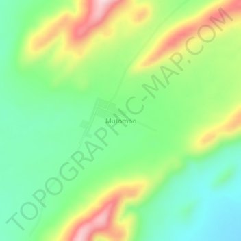
Name: Mutombo topographic map, elevation, terrain.
Location: Mutombo, Tanganyika, DR Congo (-7.25333 26.78000 -7.21333 26.82000)
Average elevation: 799 m
Minimum elevation: 680 m
Maximum elevation: 998 m