
Negari topographic map
Interactive map
Click on the map to display elevation.
About this map
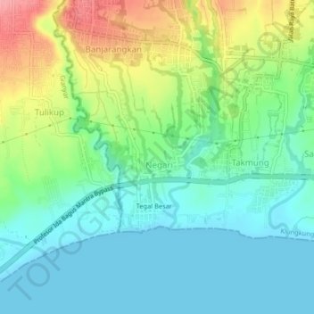
Name: Negari topographic map, elevation, terrain.
Location: Negari, Bali, Indonesia (-8.58514 115.35576 -8.54514 115.39576)
Average elevation: 31 m
Minimum elevation: 0 m
Maximum elevation: 98 m