
Akershus topographic map
Interactive map
Click on the map to display elevation.
About this map
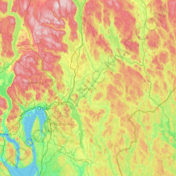
Name: Akershus topographic map, elevation, terrain.
Location: Akershus, Norway (59.47188 10.32847 60.60515 11.92698)
Average elevation: 252 m
Minimum elevation: -3 m
Maximum elevation: 824 m