
Nangarhar Province topographic map
Interactive map
Click on the map to display elevation.
About this map
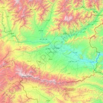
Name: Nangarhar Province topographic map, elevation, terrain.
Location: Nangarhar Province, Afghanistan (33.93973 69.47744 34.80834 71.17615)
Average elevation: 1,748 m
Minimum elevation: 392 m
Maximum elevation: 4,727 m