
Kalanga topographic map
Interactive map
Click on the map to display elevation.
About this map
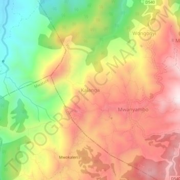
Name: Kalanga topographic map, elevation, terrain.
Location: Kalanga, Taita Taveta, Kenya (-3.34925 38.40127 -3.30925 38.44127)
Average elevation: 1,149 m
Minimum elevation: 775 m
Maximum elevation: 1,468 m