
Boora topographic map
Interactive map
Click on the map to display elevation.
About this map
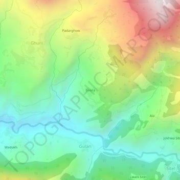
Name: Boora topographic map, elevation, terrain.
Location: Boora, Ghuni, Chamoli, Uttarakhand, India (30.27411 79.51199 30.31411 79.55199)
Average elevation: 2,195 m
Minimum elevation: 1,601 m
Maximum elevation: 3,235 m