
Dzhugdzhur Mountains topographic map
Interactive map
Click on the map to display elevation.
About this map
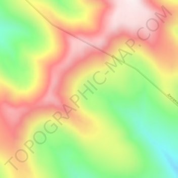
Name: Dzhugdzhur Mountains topographic map, elevation, terrain.
Average elevation: 1,564 m
Minimum elevation: 1,211 m
Maximum elevation: 1,878 m
Other topographic maps
Click on a map to view its topography, its elevation and its terrain.
Сихотэ-Алинь
Сихотэ-Алинь, Nanaysky Rayon, Khabarovsk Krai, Far Eastern Federal District, Russia
Average elevation: 1,671 m
Bolshoy Shantar Island
Bolshoy Shantar Island, Tuguro-Chumikansky Rayon, Khabarovsk Krai, Far Eastern Federal District, Russia
Average elevation: 75 m