
Changane River topographic map
Interactive map
Click on the map to display elevation.
About this map
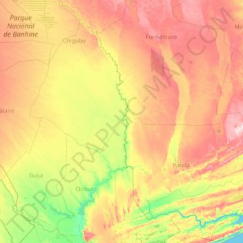
Name: Changane River topographic map, elevation, terrain.
Location: Changane River, Gaza, Mozambique (-24.73658 33.09203 -22.61624 33.95582)
Average elevation: 78 m
Minimum elevation: -1 m
Maximum elevation: 224 m
Other topographic maps
Click on a map to view its topography, its elevation and its terrain.