
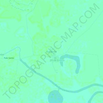
Karanda topographic map
Interactive map
Click on the map to display elevation.
About this map
Name: Karanda topographic map, elevation, terrain.
Location: Karanda, Presidente Hayes, Región Occidental, Paraguay (-22.99313 -59.54764 -22.95313 -59.50764)
Average elevation: 117 m
Minimum elevation: 113 m
Maximum elevation: 119 m