
Sierra Madre de Chiapas topographic map
Interactive map
Click on the map to display elevation.
About this map
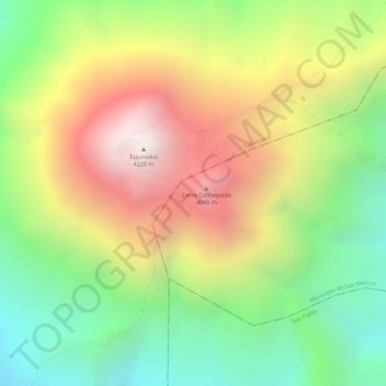
Name: Sierra Madre de Chiapas topographic map, elevation, terrain.
Location: Sierra Madre de Chiapas, San Marcos, Guatemala (15.03995 -91.90005 15.04005 -91.89995)
Average elevation: 3,629 m
Minimum elevation: 3,096 m
Maximum elevation: 4,214 m
Other topographic maps
Click on a map to view its topography, its elevation and its terrain.