
Vianden topographic map
Interactive map
Click on the map to display elevation.
About this map
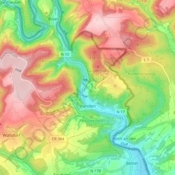
Name: Vianden topographic map, elevation, terrain.
Location: Vianden, Canton Vianden, Luxembourg (49.92283 6.14895 49.95520 6.22733)
Average elevation: 341 m
Minimum elevation: 192 m
Maximum elevation: 506 m