
Murfreesboro topographic map
Interactive map
Click on the map to display elevation.
About this map
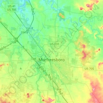
Name: Murfreesboro topographic map, elevation, terrain.
Location: Murfreesboro, Rutherford County, Tennessee, USA (35.76273 -86.57099 35.96064 -86.32528)
Average elevation: 188 m
Minimum elevation: 152 m
Maximum elevation: 268 m