
D 39 topographic map
Interactive map
Click on the map to display elevation.
About this map
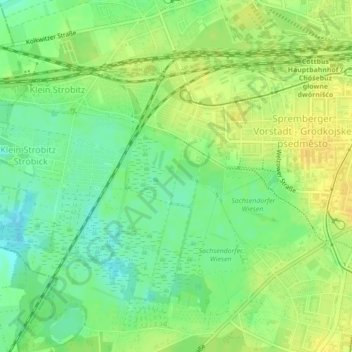
Name: D 39 topographic map, elevation, terrain.
Location: D 39, Cottbus, Cottbus - Chóśebuz, Brandenburg, 03048, Germany (51.74174 14.30501 51.74184 14.30511)
Average elevation: 73 m
Minimum elevation: 60 m
Maximum elevation: 84 m