
Lakeland topographic map
Interactive map
Click on the map to display elevation.
About this map
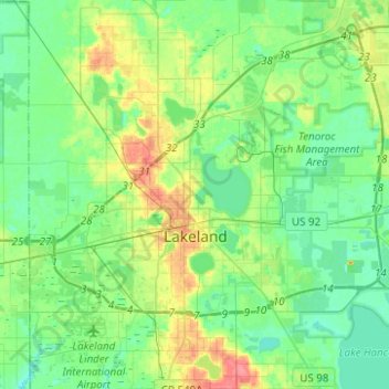
Name: Lakeland topographic map, elevation, terrain.
Location: Lakeland, Polk County, Florida, USA (27.95267 -82.05598 28.17197 -81.83880)
Average elevation: 44 m
Minimum elevation: 27 m
Maximum elevation: 84 m