
Green Cove topographic map
Interactive map
Click on the map to display elevation.
About this map
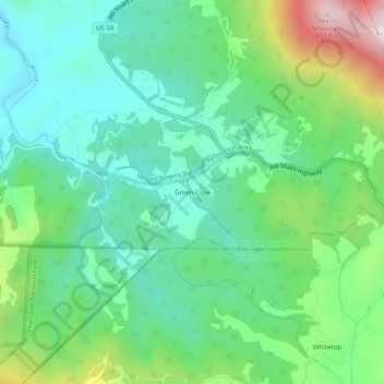
Name: Green Cove topographic map, elevation, terrain.
Location: Green Cove, Washington County, Virginia, United States (36.59762 -81.66317 36.63762 -81.62317)
Average elevation: 1,070 m
Minimum elevation: 891 m
Maximum elevation: 1,516 m