
Bojong Nangka topographic map
Interactive map
Click on the map to display elevation.
About this map
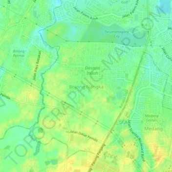
Name: Bojong Nangka topographic map, elevation, terrain.
Location: Bojong Nangka, Tangerang, Banten, 15810, Indonesia (-6.27658 106.57633 -6.23658 106.61633)
Average elevation: 31 m
Minimum elevation: 19 m
Maximum elevation: 42 m