
Lunda Norte topographic map
Interactive map
Click on the map to display elevation.
About this map
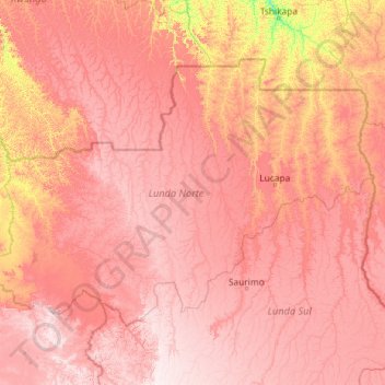
Name: Lunda Norte topographic map, elevation, terrain.
Location: Lunda Norte, Angola (-10.42722 17.32667 -6.91667 21.93208)
Average elevation: 971 m
Minimum elevation: 483 m
Maximum elevation: 1,446 m