
Kalanga topographic map
Interactive map
Click on the map to display elevation.
About this map
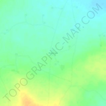
Name: Kalanga topographic map, elevation, terrain.
Location: Kalanga, Koutiala Cercle, Sikasso, Mali (12.64589 -5.33024 12.64776 -5.32909)
Average elevation: 314 m
Minimum elevation: 301 m
Maximum elevation: 331 m