
Mosta topographic map
Interactive map
Click on the map to display elevation.
About this map
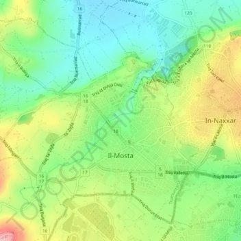
Name: Mosta topographic map, elevation, terrain.
Location: Mosta, Malta (35.89737 14.39301 35.92922 14.43908)
Average elevation: 78 m
Minimum elevation: 8 m
Maximum elevation: 189 m