
Drumheller topographic map
Interactive map
Click on the map to display elevation.
About this map
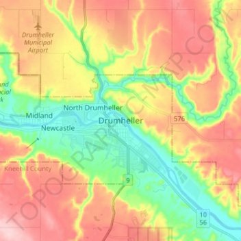
Name: Drumheller topographic map, elevation, terrain.
Location: Drumheller, Town of Drumheller, Alberta, T0J 0Y0, Canada (51.42628 -112.74466 51.50628 -112.66466)
Average elevation: 763 m
Minimum elevation: 675 m
Maximum elevation: 858 m