
Roatan topographic map
Interactive map
Click on the map to display elevation.
About this map
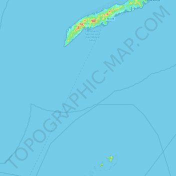
Name: Roatan topographic map, elevation, terrain.
Location: Roatan, Bay Islands, 33166, Honduras (16.26345 -86.60795 16.45781 -86.11065)
Average elevation: 2 m
Minimum elevation: 0 m
Maximum elevation: 196 m