
Brownton topographic map
Interactive map
Click on the map to display elevation.
About this map
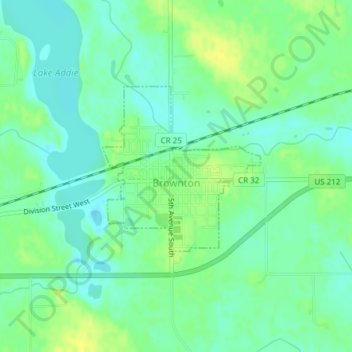
Name: Brownton topographic map, elevation, terrain.
Location: Brownton, McLeod County, Minnesota, United States of America (44.72666 -94.35821 44.73932 -94.34118)
Average elevation: 314 m
Minimum elevation: 305 m
Maximum elevation: 325 m