
Gunung Anyar topographic map
Interactive map
Click on the map to display elevation.
About this map
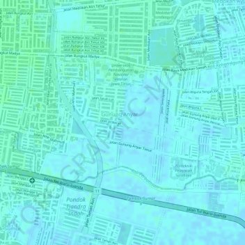
Name: Gunung Anyar topographic map, elevation, terrain.
Location: Gunung Anyar, Surabaya, East Java, 60294, Indonesia (-7.34658 112.77738 -7.33168 112.80119)
Average elevation: 2 m
Minimum elevation: -2 m
Maximum elevation: 5 m
Other topographic maps
Click on a map to view its topography, its elevation and its terrain.