
Blitar topographic map
Interactive map
Click on the map to display elevation.
About this map
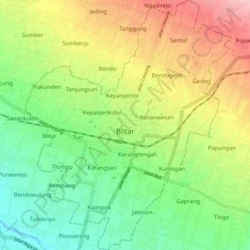
Name: Blitar topographic map, elevation, terrain.
Location: Blitar, East Java, Indonesia (-8.13663 112.13246 -8.05593 112.19950)
Average elevation: 181 m
Minimum elevation: 115 m
Maximum elevation: 272 m
Other topographic maps
Click on a map to view its topography, its elevation and its terrain.