
Wiyung topographic map
Interactive map
Click on the map to display elevation.
About this map
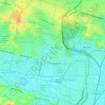
Name: Wiyung topographic map, elevation, terrain.
Location: Wiyung, Surabaya, East Java, Indonesia (-7.33443 112.67159 -7.28269 112.71387)
Average elevation: 14 m
Minimum elevation: 3 m
Maximum elevation: 36 m
Other topographic maps
Click on a map to view its topography, its elevation and its terrain.