
Banyumanik topographic map
Interactive map
Click on the map to display elevation.
About this map
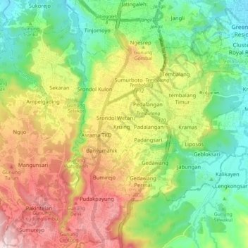
Name: Banyumanik topographic map, elevation, terrain.
Location: Banyumanik, Semarang, Central Java, Indonesia (-7.11187 110.39752 -7.02439 110.45727)
Average elevation: 181 m
Minimum elevation: 21 m
Maximum elevation: 403 m