
Port Loko District topographic map
Interactive map
Click on the map to display elevation.
About this map
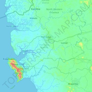
Name: Port Loko District topographic map, elevation, terrain.
Location: Port Loko District, North Western Province, 233, Sierra Leone (8.25979 -13.48427 9.03231 -12.28472)
Average elevation: 40 m
Minimum elevation: -3 m
Maximum elevation: 863 m