
Piura topographic map
Interactive map
Click on the map to display elevation.
About this map
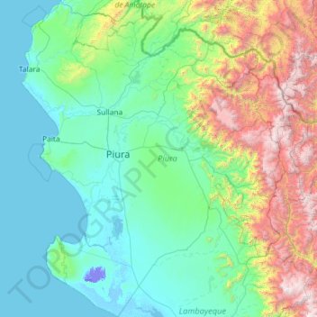
Name: Piura topographic map, elevation, terrain.
Location: Piura, Peru (-6.37209 -81.32823 -4.07933 -79.21033)
Average elevation: 675 m
Minimum elevation: -25 m
Maximum elevation: 4,013 m