
Wildeshausen topographic map
Interactive map
Click on the map to display elevation.
About this map
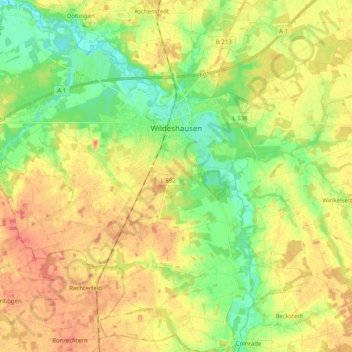
Name: Wildeshausen topographic map, elevation, terrain.
Location: Wildeshausen, Landkreis Oldenburg, Lower Saxony, 27793, Germany (52.82020 8.30656 52.94098 8.48202)
Average elevation: 37 m
Minimum elevation: 14 m
Maximum elevation: 59 m