Tierra del Fuego topographic map
Interactive map
Click on the map to display elevation.
About this map
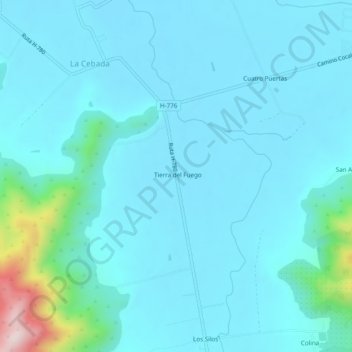
Name: Tierra del Fuego topographic map, elevation, terrain.
Average elevation: 169 m
Minimum elevation: 116 m
Maximum elevation: 585 m

Click on the map to display elevation.
Name: Tierra del Fuego topographic map, elevation, terrain.
Average elevation: 169 m
Minimum elevation: 116 m
Maximum elevation: 585 m