
Gwanda topographic map
Interactive map
Click on the map to display elevation.
About this map
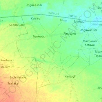
Name: Gwanda topographic map, elevation, terrain.
Location: Gwanda, Dambatta, Kano State, Nigeria (12.51604 8.52570 12.60258 8.64867)
Average elevation: 416 m
Minimum elevation: 402 m
Maximum elevation: 437 m