
Mazowe River topographic map
Interactive map
Click on the map to display elevation.
About this map
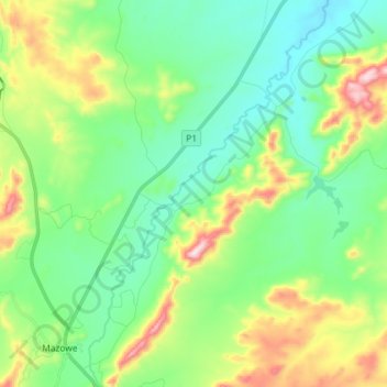
Name: Mazowe River topographic map, elevation, terrain.
Location: Mazowe River, Mazowe, Mashonaland Central Province, Zimbabwe (-17.52100 30.98389 -17.38263 31.07363)
Average elevation: 1,261 m
Minimum elevation: 1,133 m
Maximum elevation: 1,570 m