
Zaka topographic map
Interactive map
Click on the map to display elevation.
About this map
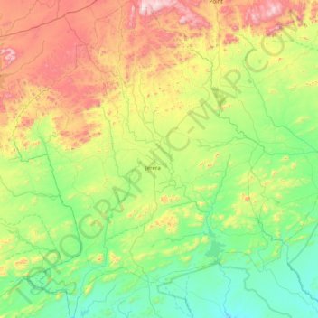
Name: Zaka topographic map, elevation, terrain.
Location: Zaka, Masvingo Province, Zimbabwe (-20.75497 31.09748 -20.01624 31.77119)
Average elevation: 776 m
Minimum elevation: 444 m
Maximum elevation: 1,545 m