
Maryland topographic map
Interactive map
Click on the map to display elevation.
About this map
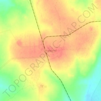
Name: Maryland topographic map, elevation, terrain.
Location: Maryland, Zvimba, Mashonaland West, Zimbabwe (-17.67032 30.47297 -17.63032 30.51297)
Average elevation: 1,439 m
Minimum elevation: 1,405 m
Maximum elevation: 1,459 m