
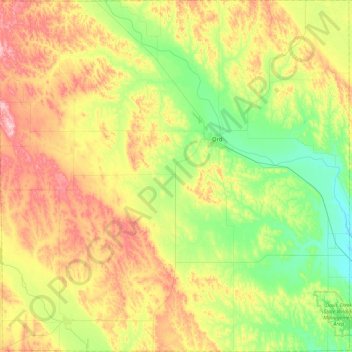
Valley County topographic map
Interactive map
Click on the map to display elevation.
About this map
Name: Valley County topographic map, elevation, terrain.
Location: Valley County, Nebraska, United States of America (41.39262 -99.21476 41.74054 -98.74964)
Average elevation: 670 m
Minimum elevation: 588 m
Maximum elevation: 784 m