
Chinde topographic map
Interactive map
Click on the map to display elevation.
About this map
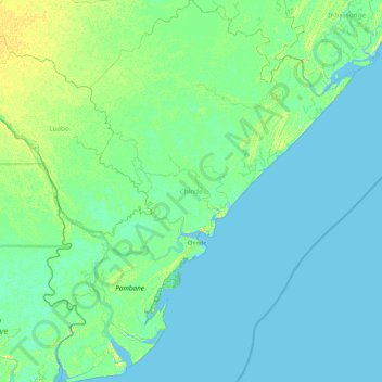
Name: Chinde topographic map, elevation, terrain.
Location: Chinde, Zambézia, Mozambique (-18.90152 36.09403 -18.03020 36.84484)
Average elevation: 3 m
Minimum elevation: -2 m
Maximum elevation: 15 m