
Diest topographic map
Interactive map
Click on the map to display elevation.
About this map
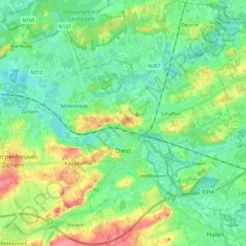
Name: Diest topographic map, elevation, terrain.
Location: Diest, Flemish Brabant, Flanders, Belgium (50.94276 4.99468 51.04982 5.15950)
Average elevation: 30 m
Minimum elevation: 9 m
Maximum elevation: 77 m