
Busia topographic map
Interactive map
Click on the map to display elevation.
About this map
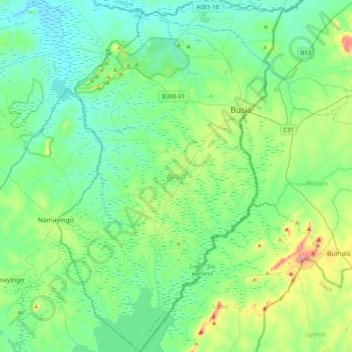
Name: Busia topographic map, elevation, terrain.
Location: Busia, Eastern Region, Uganda (0.19040 33.87874 0.59315 34.13823)
Average elevation: 1,168 m
Minimum elevation: 1,066 m
Maximum elevation: 1,564 m