
Poti topographic map
Interactive map
Click on the map to display elevation.
About this map
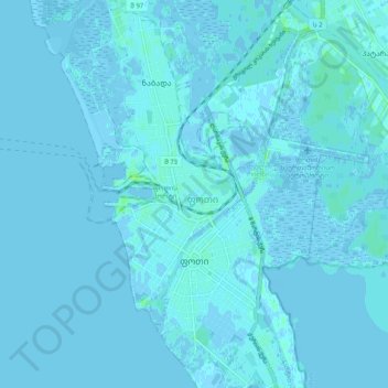
Name: Poti topographic map, elevation, terrain.
Location: Poti, Samegrelo-Upper Svaneti, 4400, Georgia (42.11728 41.65390 42.19127 41.69900)
Average elevation: 1 m
Minimum elevation: -4 m
Maximum elevation: 9 m