
Runde topographic map
Interactive map
Click on the map to display elevation.
About this map
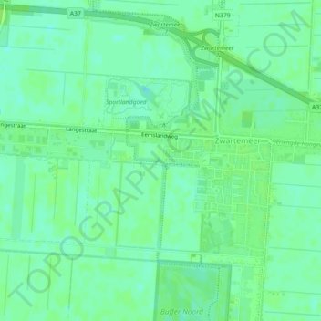
Name: Runde topographic map, elevation, terrain.
Location: Runde, Emmen, Drenthe, Netherlands, 7894LR, Netherlands (52.72076 7.03141 52.72078 7.03190)
Average elevation: 18 m
Minimum elevation: 12 m
Maximum elevation: 21 m